Zuytdorp
Zuytdorp shipwreck
The ship
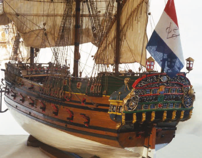
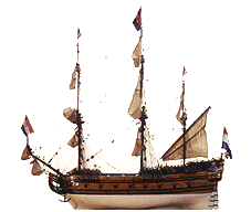
The Zuytdorp was a Dutch East India Company ship travelling to Batavia (Jakarta, Indonesia) in 1712. On board were about 200 passengers and crew and a rich cargo, including 248,000 silver coins. They were travelling well south of the Equator to make the most of the westerly winds —the roaring 40s. A problem with this route was deciding when to head north as they could not calculate longitude.
Wrecked
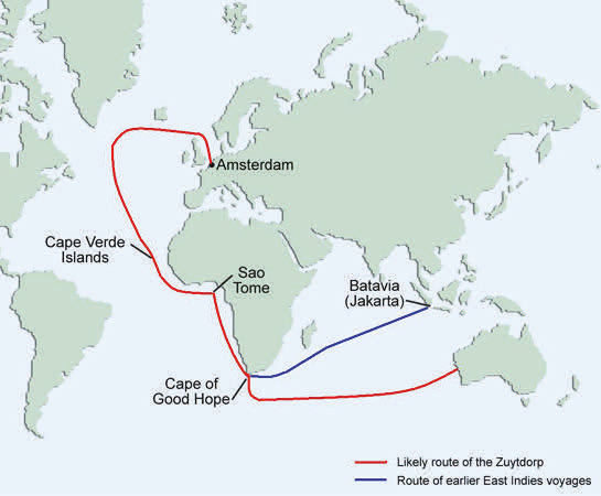
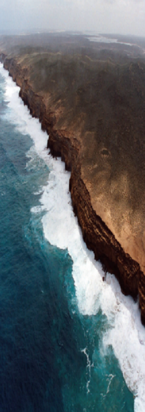
How the ship became wrecked in June 1712 remains a mystery because no survivors reached Batavia. It is likely that the captain mistimed the vessel’s turn north towards Batavia and abruptly encountered the Western Australian coastline. The Zuytdorp probably struck reef without warning, most likely at night as the anchors were stowed away. The 33 metre long three-masted Zuytdorp would have been helpless once against the cliffs.
Discovered
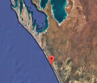
The wreck of the Zuytdorp was discovered in 1927 between Tamala and Murchison House pastoral stations by workers fencing and trapping dingoes. One of the workers was the late Tom Pepper Senior. In 1954 geologist Phillip Playford met Pepper, examined artefacts from the site and determined from the coins that the wreck was the Zuytdorp.
Zuytdorp Reserve
The 59 000 hectare Zuytdorp Nature Reserve above the wreck area was declared in 1992. The reserve includes most of the permanent and seasonal soaks that shipwreck survivors would have relied on for water. Access to the reserve and wreck site is restricted. The wreck and adjacent land is a protected zone and permission is required from the WA Maritime Museum and land managers to enter this area. Diving on the wreck is prohibited for safety reasons and to protect historic relics.
Evidence of survival
Artefacts from the seabed and nearby shore provide limited clues to the fate of survivors. Items found at soaks further inland led to speculation that some survivors may have joined an Aboriginal group. The wreck came to rest close enough to a coastal reef platform for survivors to make it ashore and there is evidence of large fires lit in the hope of attracting passing vessels. Survivors are likely to have stayed near the wreck for as long as possible because Dutch captains of this era were instructed to sight the coast at 27 degrees south, almost the exact latitude of the Zuytdorp wreck. As water is scarce in the area other than in winter, the survivors would probably have died during the hot summer without the help of local Aboriginal people.
Fact sheet
SHARK BAY
World Heritage
