Francois Peron (Wulyibidi) National Park
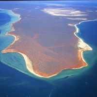
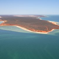
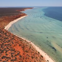
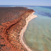
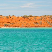
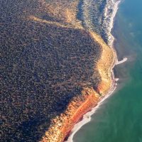
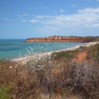
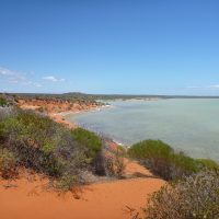
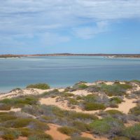
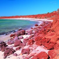
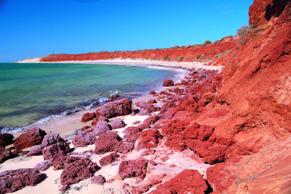
Francois Peron (Wulyibidi) National Park is an impressive area of acacia-cloaked red dunes and arid shrublands surrounded by turquoise water.
Peron Peninsula is known as Wulyibidi to the local Malgana Aboriginal people who occupied the area prior to European settlement and continue to live in Shark Bay today. Peron Peninsula was a sheep station until 1990 when it was purchased by the State Government. Francois Peron National Park was declared in 1993.
Access
Access to the park is off the Monkey Mia Road about 4km east of Denham. The road to the Peron Heritage Precinct is unsealed but two-wheel drive accessible. It may be closed during wet conditions.
High clearance four-wheel drive is essential for vehicle access north of the Heritage Precinct. The narrow tracks are soft sand and can be challenging in places. To make driving easier and avoid becoming bogged, lower the pressures of your vehicle’s tyres at the tyre pressure station at the start of the four wheel drive track. You can reinflate them there on the way out.
Access is not suitable for low clearance vehicles, caravans or boat trailers. Only 4WD camper trailers and single-axle trailers with small dinghies may be towed north of the Peron Heritage Precinct.
See the four-wheel driving information sheet for more details.
Please Remember
- Be clean & tidy. Carry all of your rubbish with you when leaving the park.
- To protect native plants and animals, campfires, firearms and pets are not allowed.
- Fires are not permitted. Free gas barbecues are available at most sites and visitors may use their own gas appliances.
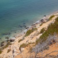
- Coastal cliffs are undercut and unstable. Approach with caution and be wary of crumbling edges and strong winds. Stay well back from cliff edges at all times.
- Poisonous marine creatures such as stonefish and coneshells are common. Protect your feet when walking in shallows – wear suitable footwear
Park entry & camping fees apply to Francois Peron National Park.
See the travel advice pages for more information about the activities that interest you.
The Peron Heritage Precinct shows how life was during the pastoral days. A self-guided walk around the precinct explains the history and operation of the shearing shed, shearer’s quarters and stock yards. A small interpretive centre introduces the culture, history and nature of the area.
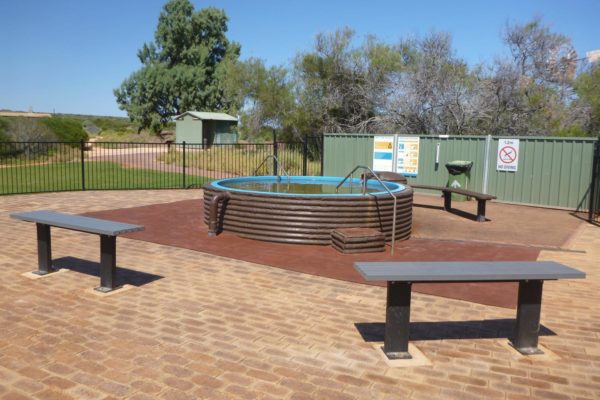
The hot tub is popular for relaxing and soaking in the artesian waters that once supplied the pastoral station.
Nearby barbecue facilities and lawns help complete the experience.
- Please do not take glass into the hot tub area
- Supervise small children in the hot tub
- The artesian water is hot. Soaking for extended periods can cause dehydration so take regular breaks and drink plenty of water
- Bring your own drinking water. There is no water suitable for drinking in the area.
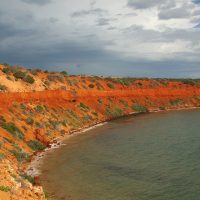
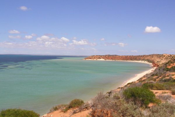
Cape Peron has spectacular views where red dunes meet brilliant white beaches that dip into turquoise waters. You can also see the confluence of two major currents at this northerly tip of Francois Peron National Park. It is not safe to swim at Cape Peron due to these currents.
Visitor facilities include a picnic shelter, drop toilet, beach access, and a walking trail connecting Cape Peron and Skipjack Point. There is no toilet at Skipjack Point.
Walking one-way between Cape Peron and Skipjack along the Wanamalu trail is 1.5km and takes about 45 minutes. Double the distance and time if you need to do the return walk. The trail offers excellent views of the coastline and signs along the trail interpret the nature of the area.
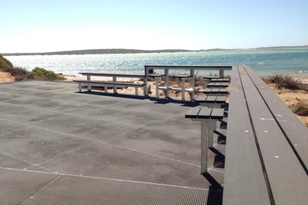
At Skipjack Point you can view the wildlife from two spectacularly located viewing platforms perched over the cliff edge.
Cattle Well is a day use area with no facilities, just a chance to catch a feed of whiting.
Please Remember
- Strong currents at Cape Peron make swimming dangerous.
- Camping is not permitted at Cape Peron or Skipjack Point.
- A special purpose zone encompasses the tip of Cape Peron – netting, spearfishing and motorised water sports are prohibited in this zone.
Camping areas are located at Big Lagoon, Gregories, South Gregories, Bottle Bay and Herald Bight. All are close to beaches and there is no booking system. The busiest times are winter and during school holiday periods.
Facilities in the park include gas barbecues in the picnic areas and pit toilets in camping and picnic areas. There are no supplies, services or fresh water within the park. Take all you need in with you and please take all of your rubbish out when leaving.
Fires, firearms and pets are not allowed.
Big Lagoon
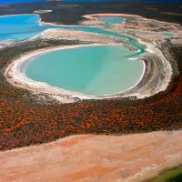
Big Lagoon has the best camping and day use facilities in Francois Peron National Park. Access is high clearance four-wheel drive only. Generators are not permitted.
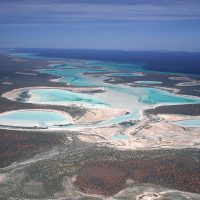
Big Lagoon was a land-locked saline lake system until rising sea-levels in recent geological times inundated it and created this attractive lagoon. An important fish nursery, Big Lagoon’s northern waters are a sanctuary zone where fishing is prohibited. Canoeing, kayaking and stand-up paddle-boarding are great ways to see Big Lagoon, but check the tides (for current direction) and wind forecast before you start paddling.
Please remember that fishing and motorised water sports are restricted in Big Lagoon.
Herald Bight
Once a pearling camp in the late 1880’s, you can still find pearl shell on the beach at Herald Bight.
On the eastern side of the Herald Bight park offers some protection from the prevailing south-westerly winds. The informal camping area here is the only place where you can camp right on the beach but you must drive through a section of deep soft sand to get there. The only facility is a toilet. Small boats can be launched from the beach.
Bottle Bay, Gregories and South Gregories
These popular sites are all located within a few kilometres of each other along the park’s northern beaches. All three are close to the beach with easy access to the water. Bottle Bay and Gregories have gas barbeques and all campsites have toilets.
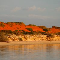
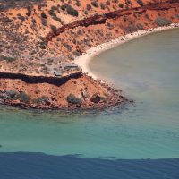
Enjoy walking along the beaches with views of rich red cliffs meeting green-blue water. At Gregories a rock shelf parallel to the coast is excellent for snorkelling with the chance to drift along the wall and see some of the local marine life. The ledge can be accessed from shore but wear shoes and shuffle your feet for protection from stonefish.
Fishing is popular along this stretch of coastline either from the shore or small dinghies which can be launched from the beach at both Bottle Bay and South Gregories. Whiting, bream and kingfish are the likely catches in this area. There is no vehicle access to the beach at Gregories.

